Evidence first
Historical and contemporary claims belong to named sources. Uncertainty and project status remain visible.
Read its hidden history, the city changing now, or the green spaces threaded around it. Facts and locations stay fixed. The experience adapts around them.
MVP 3.0 adds open mapping and live Lichfield weather without making either a source of historical truth. New places only ship with fixed geography, evidence provenance and a rights-clear visual treatment.
Historical and contemporary claims belong to named sources. Uncertainty and project status remain visible.
MapLibre/OpenFreeMap is enhanced by a second no-library OpenStreetMap raster renderer before the local schematic is ever needed.
Open-Meteo adds current outdoor context. It never claims a path is dry, safe or accessible.
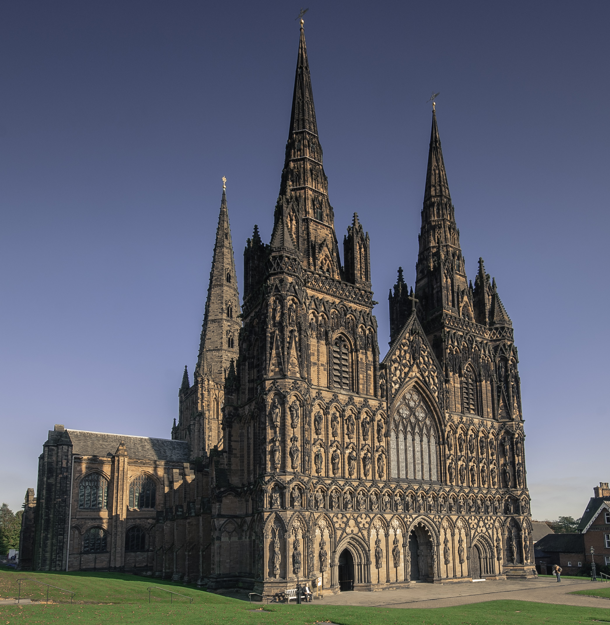
Modern Lichfield uses rights-cleared contextual photography where available, dated on-screen, with local editorial illustration only where documentary reuse rights are not established.
Questions are constrained to the evidence attached to this place. Workers AI is optional; failure falls back locally rather than improvising.
The app first attempts MapLibre + OpenFreeMap, then falls back to a local OpenStreetMap raster renderer with the same verified pins. The line is a sequence cue, not turn-by-turn navigation.
MVP 3.0 adds live and open data, but neither gets permission to rewrite the evidence.
Explain, connect, contextualise weather and help people see relationships between verified places.
Move a landmark, turn a proposal into a completed place, invent path conditions or fabricate local history.